

Real sites from LiDAR, map data and imagery
A Southport car park, a Redcliffe roundabout and a Redcliffe stadium, all calculated before anyone set foot on site.
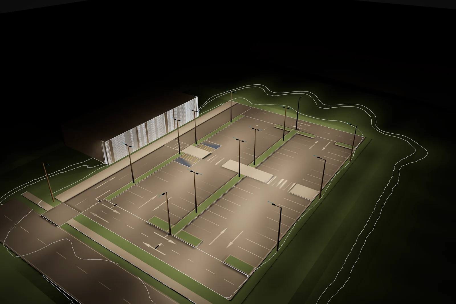
Every example in the third edition of the Lumadex technical overview is a real place in South East Queensland. Ground comes from Queensland Government LiDAR and roads, rail, paths and buildings from OpenStreetMap. Layouts are traced over aerial imagery.
A design ground where the survey is too coarse
Airborne survey at 3 m spacing carries trees, parked cars and noise. Put a road lighting calculation on that and the road surface is a set of lumps. Lumadex replaces it with a design ground: the terrain keeps its form through a smoothed surface, every road sits on a smooth formation and the corridor blends into the survey over a batter.
Bunnings Southport car park
Assessed to AS/NZS 1158.3.1 Category PC2 with PCX pedestrian crossings and a PCD driveway: 16 areas, 3 412 receivers and direct photometry with shadows on 914 418 surface samples. All 60 illuminance criteria pass. The intensity limits of Table 3.8 stay open until verified initial flux evidence is attached for each luminaire. The report says so instead of guessing from lux.
Duffield Road and Victoria Avenue, Redcliffe
A four arm roundabout with two slip lanes and six islands, each a different shape. The mapped street lights are assessed as they stand and again with an LED replacement on the same poles, against the Category V3 conflict area values. Both arrangements fall short of the V3 minimum. The study shows where.
Kayo Stadium, Redcliffe
Four floodlight towers aimed across a rugby league field for televised play, with every point on the field seeing all four towers. The stands, the field and the surrounding streets sit on LiDAR ground, so the night view shows the spill beyond the stadium as well as the light on the field.